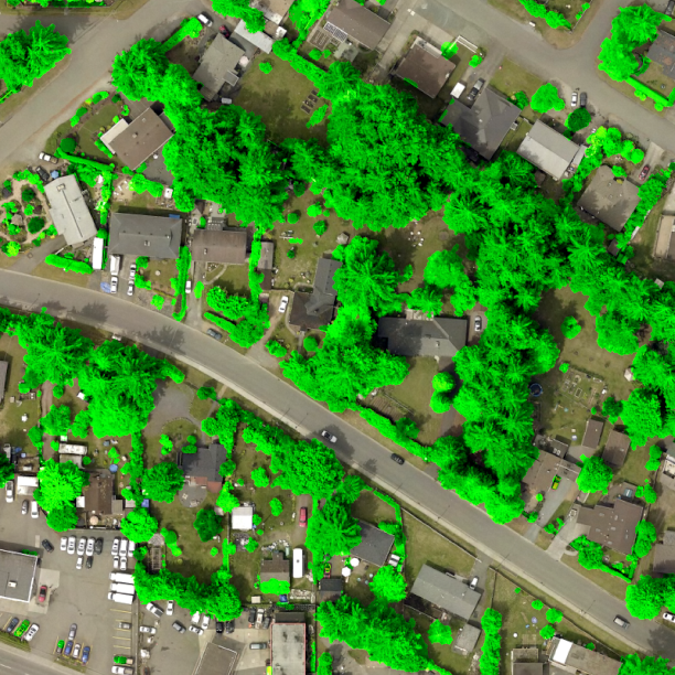
Canopy Mapping
Tree cover can me mapped with high precision using AI models that interpret aerial imagery and lidar. These canopy maps help cities plan greener spaces, monitor environmental change, and protect ecosystems.
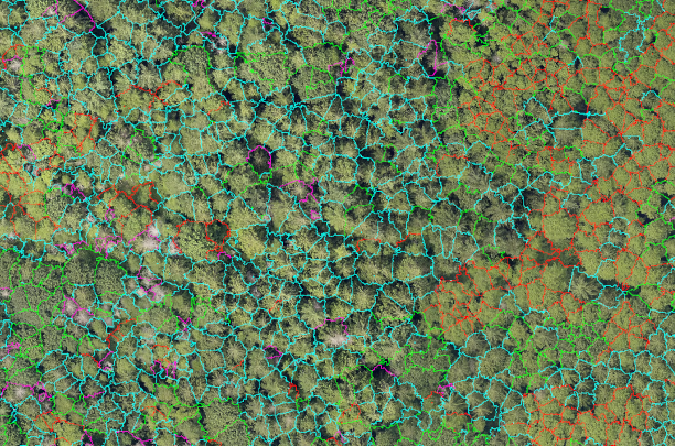
ForestTools
ForestTools is an R package for detecting and segmenting individual trees from remotely sensed forest data. It includes tools like a variable window filter (VWF) and marker-controlled watershed segmentation (MCWS) for tree crown delineation, plus functions to compute texture metrics (via grey-level co-occurrence matrices) on individual tree segments for further analysis.
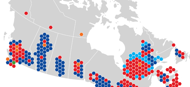
Electoral Districts of Canada
A hexagonal map of Canadian federal election districts and recent electoral results. Each riding is shown with equal area. By removing the distortion of land size, the map highlights true voting trends across the country.